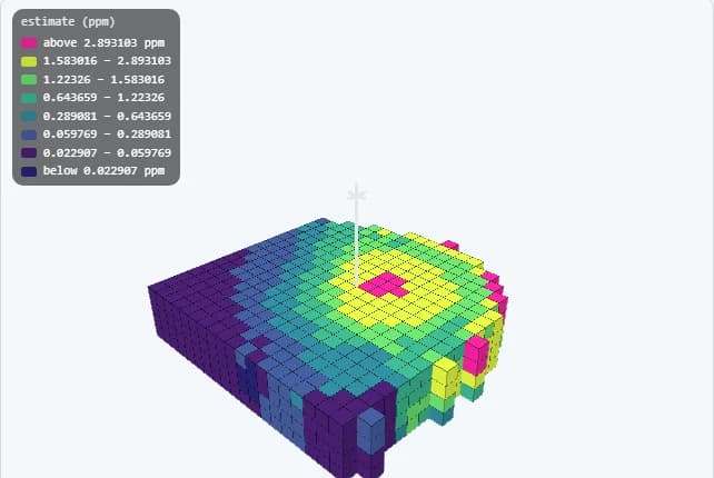
Explore to reconcile
Digital Mining
The mine lifecycle on one platform — resource, plan, production and reconciliation.
Explore Digital MiningSolutions
Start with the problem you have. The applications behind it are already connected.
Explore to reconcile
The mine lifecycle on one platform — resource, plan, production and reconciliation.
Explore Digital Mining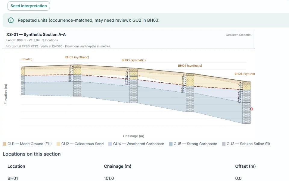
Drillholes to ground models
Boreholes, CPT, geomechanics, cross sections, prospectivity and a live hazard register.
Explore Geoscience & Subsurface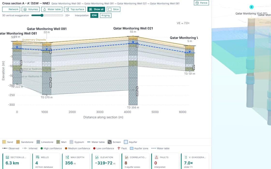
Mine water & monitoring
Dewatering, monitoring bores, groundwater models, tailings surveillance and ICMM/GRI water accounting.
Explore Groundwater & Water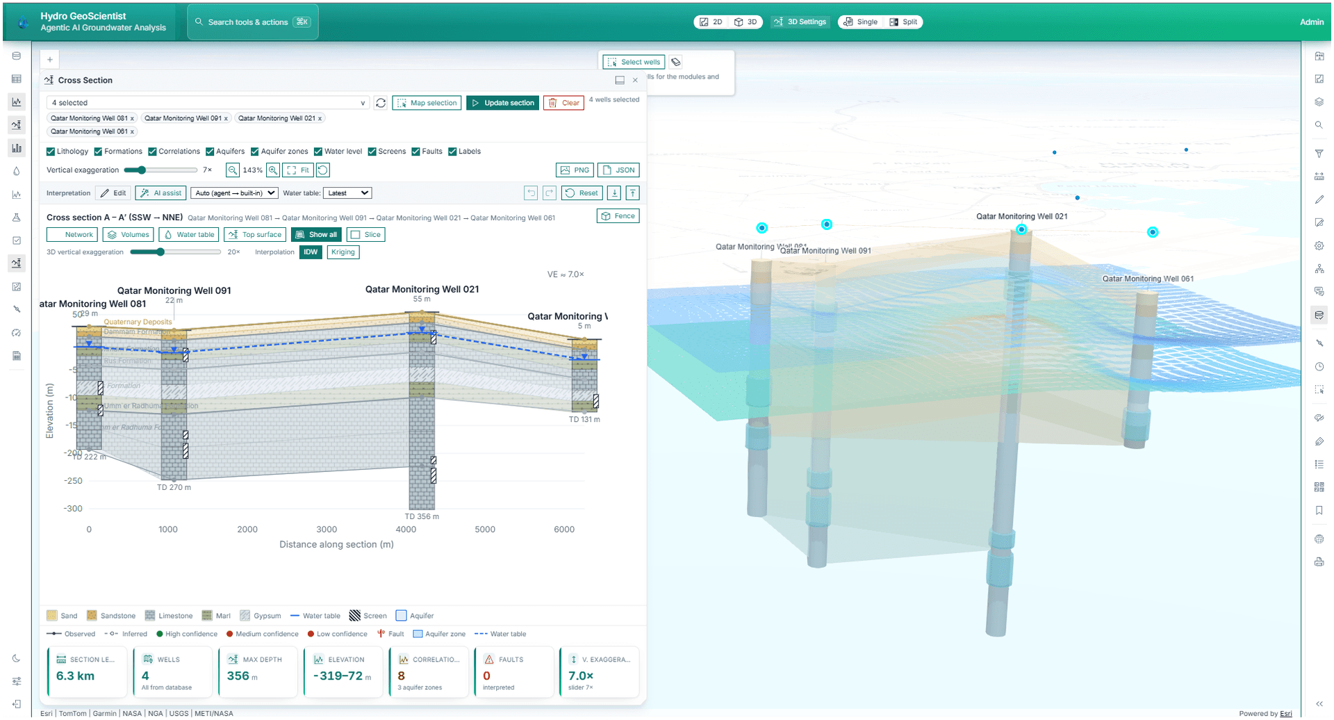
Maps, imagery & agents
Browser-based enterprise GIS with satellite imagery, change detection and agentic workflows.
Explore Enterprise GIS & Spatial AIGo deeper
Grade, tonnage & uncertainty
From logged contacts to geometry
Provenance & defensibility
Imagery evidence
Operational records
Terrain-aware review
Analysis and productivity
Describe the problem and we will show you the shortest path through the platform.
Talk to us