Technology
Scientific computing, GIS and AI on one governed record.
A mine is a geoscience problem before it is anything else. Exploration, resource modelling, pit planning, grade control, ground engineering, mine water and tailings run on one governed record — so every number a decision rests on traces back to the data that produced it.
- 15
- Applications on one governed platform
- 50+
- Compute kernels — drillholes to a resource statement
- 79+
- Registered tools an AI agent can call
- 100%
- Browser-based — nothing to install
Shared foundation
What every application stands on.
Reproducible by construction
A reviewer can check the number, not just read it.
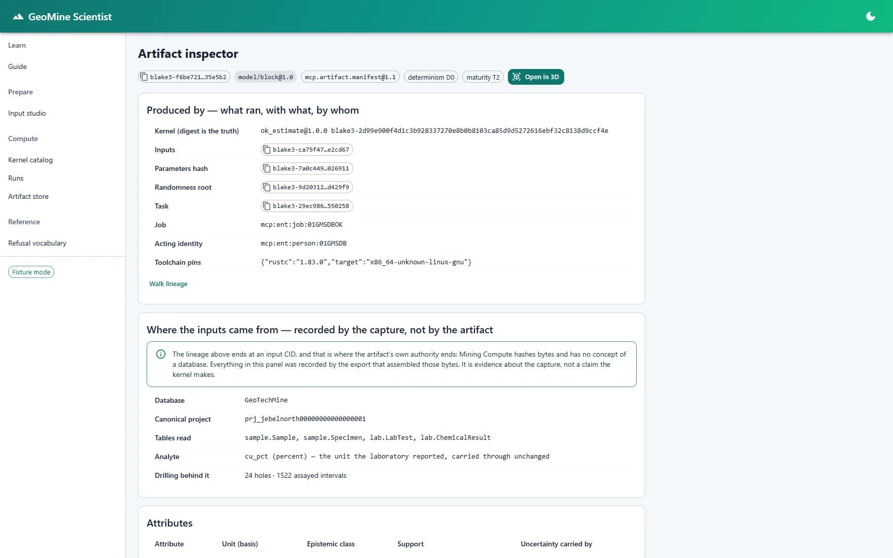
The geostatistics runs on a separate governed compute engine — 50+ kernels carrying a deposit from desurveying and QA/QC through estimation and simulation to a resource statement. Re-run a job and you get the same answer, bit for bit.
Deterministic by declaration
Kernels declare a determinism class and an execution class, and a job whose declared policy disagrees with the kernel's is refused before anything runs.
Reproducible to the bit
The same job returns the same artifact identity — numerical behaviour is a contract down to the order of floating-point operations, and worker count or restart changes nothing.
Verified on every read
Stored artifacts are content-addressed and re-verified when retrieved — a tampered byte or a dangling reference is an error, not a silent answer.
Applications
15 focused applications, one foundation.
Geotechnical
GeoTech Studio
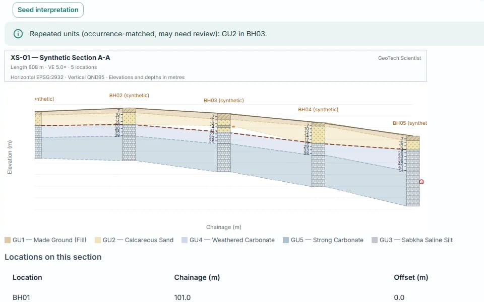
A connected platform for geotechnical investigation — projects, boreholes, in-situ and laboratory tests, logs, GIS, cross sections, 3D ground models, and engineering interpretation in one place.
Data foundation
DataHub
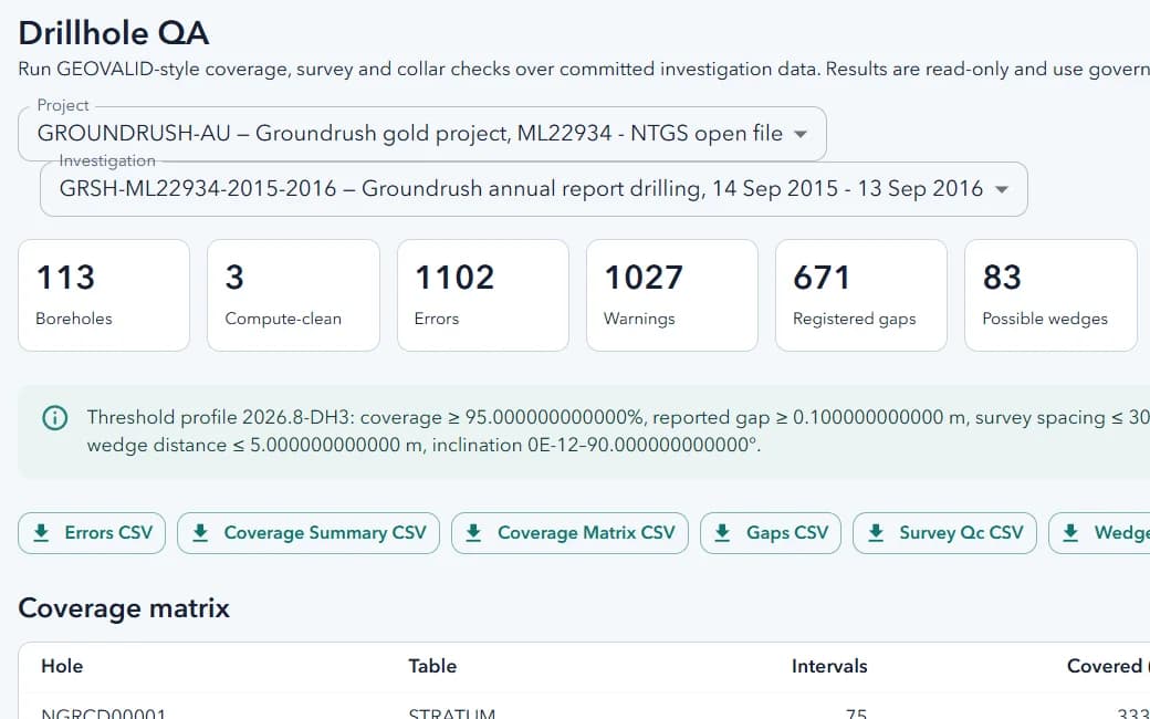
Structured data management for the platform — records, imports, editing, audit logs, and governance behind every module.
Exploration geochemistry
GeoChem Studio
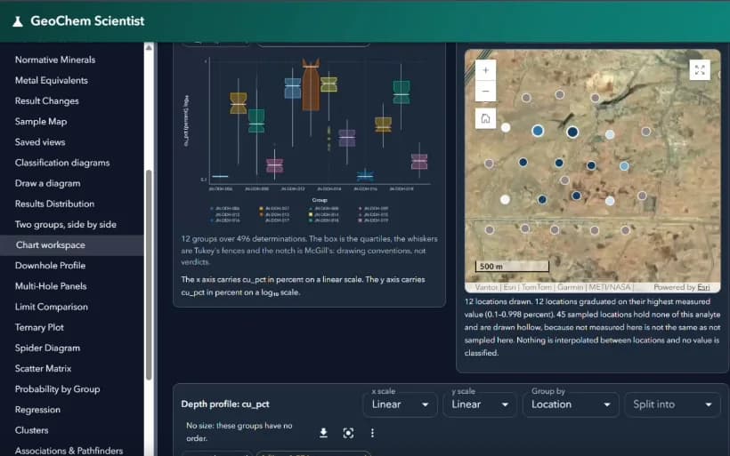
Manage, quality-control, and interpret geochemical assay data — from lab certificates and reference materials to CIPW norms, multi-element diagrams, and population analysis.
Mining & resource modelling
GeoMine Studio
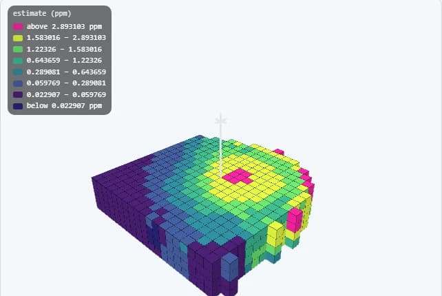
Drillhole data, implicit geological models, kriged block models, conditional simulation, and grade–tonnage reporting — every result carrying the job, parameters, and inputs that produced it.
Exploration targeting
Mineral Prospectivity
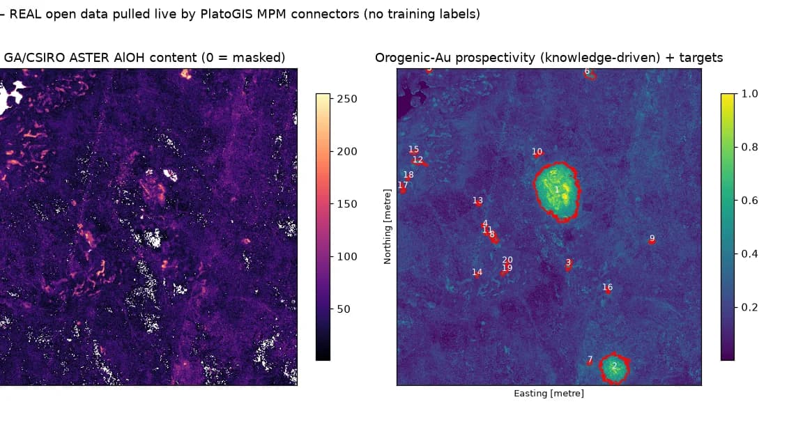
Build evidence layers from open and licensed geoscience data, run knowledge- and data-driven models, validate them, and rank exploration targets.
Groundwater & Hydrogeology
HydroGeo Studio
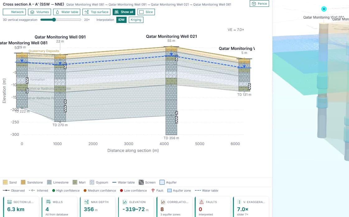
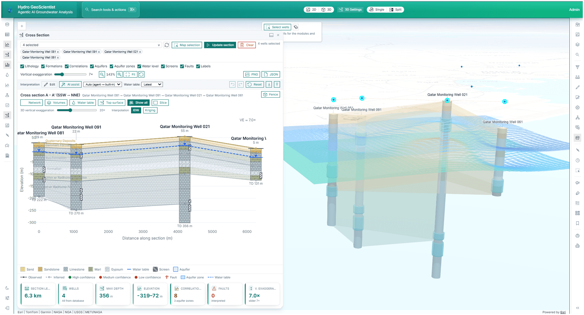
Groundwater and hydrogeology intelligence platform for monitoring wells, well logs, IoT logger integration, recharge analysis, and AI-assisted groundwater decision-making.
Mine water
Mine Dewatering Studio
The mine-specific groundwater-control module — inflow forecasting, drawdown and depressurization, pumping and well design, water balance, mine-stage readiness, and risk.
Tailings & closure
Tailings Studio
Manage the tailings storage facility across its lifecycle — deposition, instrumentation and surveillance, stability, water balance, risk, and dam-safety compliance.
Site water accounting
Site Water Account
The site water circuit as one account — ICMM water accounting and GRI 303 disclosure, with every figure linked back to the application that measured it.
Mine planning
Open Pit Planning
The mine-technical planning module between the resource model and execution — planning parameters, economic block valuation, pit optimization, phase design, sequencing, and resource-to-actual reconciliation.
Drill & blast engineering
Drill & Blast
Blast design, drilling, charging and initiation records, engineering review, and a governed handoff to Grade Control — the bridge between the plan and the dig.
Production & reconciliation
Grade Control
Answer what is in the ground, where its boundary lies, where the material went, and whether the numbers add up — from grade-control sampling to dig limits, destination assignment, stockpiles, and reconciliation.
Recorded mine execution
Mine Operations
Shifts, declared targets, readiness against the issued dig limit, authorisation, execution records, delays, exceptions and handover — with plan-to-actual by shift.
Mine fleet records
Fleet Management
An equipment and operator register for the mine: assignments, telemetry, maintenance, tyres, fuel and exclusion zones — recorded, not dispatched.
Enterprise GIS
Plato GIS
Enterprise Web GIS platform for AI-powered mapping, analysis, data management, remote sensing, and operational spatial workflows.
Platform brochure
A print-ready overview to share with technical and executive stakeholders.
Download PDFSee it on your data.
Bring a dataset and an architecture question. We will answer both.
Request a demo