SpatialTechSolutions

Ask for spatial work in plain English. See it done on your map.

SpatialTechSolutions builds AI-powered geospatial products — Plato GIS for enterprise Web GIS and Hydro GeoScientist for groundwater — where AI agents run governed, reviewable workflows grounded in real map data.

Plato GIS flagship Enterprise Web GIS product
Hydro GeoScientist for groundwater and wells intelligence
AI-enabled geospatial applications and expert services
Autonomous spatial workflows connected to 79 registered tools
Plato GIS enterprise web GIS workspace with operational map context.

2

Geospatial products in the portfolio

79+

Registered AI tools agents can call

8

Enterprise GIS, AI, and deployment services

100%

Browser-based — no desktop install

AI Agents
Enterprise GIS
Groundwater Intelligence
Remote Sensing
Data Management
Spatial Analytics

About SpatialTechSolutions

Geospatial technology services with Plato GIS as the flagship product

SpatialTechSolutions helps organizations design, modernize, and operationalize geospatial systems using enterprise GIS, AI, spatial analytics, and data platforms.

Discuss Your GIS Modernization Strategy

What SpatialTechSolutions does

Company capabilities beyond the flagship platform

SpatialTechSolutions combines GIS architecture, AI automation, geospatial application development, data engineering, and deployment support.

Enterprise GIS Modernization

Architecture, deployment, and integration services for organizations modernizing GIS operations.

GIS architecture review
ArcGIS Enterprise deployment
Open-source GIS stack deployment
System integration

AI & Automation

AI-assisted geospatial workflows and private-data assistants designed for operational use.

AI agents for GIS workflows
AI chatbots over company/private data
RAG-based knowledge systems
Natural language geospatial workflows

Geospatial Applications

Purpose-built applications for analytical, monitoring, remote sensing, and operational geospatial workflows.

AI-enabled web GIS applications
Analytical dashboards
Remote sensing applications
Groundwater and monitoring platforms

Data & Integration

Data foundations that connect GIS, IoT, enterprise systems, and analytical applications.

Geospatial data management
ETL pipelines
Spatial databases
IoT and sensor data integration

Enterprise credibility

Built for buyers who need proof before hype

SpatialTechSolutions positions AI as a governed layer on top of real GIS operations: maps, layers, data services, monitoring records, imagery, analysis outputs, authentication, and auditability.

Review Architecture & Security

Governed AI tool registry

AI agents call approved geospatial tools with visible steps, reviewable outputs, and human-in-the-loop controls.

Enterprise deployment path

Architecture supports ArcGIS-connected, open-source GIS, cloud, and self-hosted deployment discussions.

Real product evidence

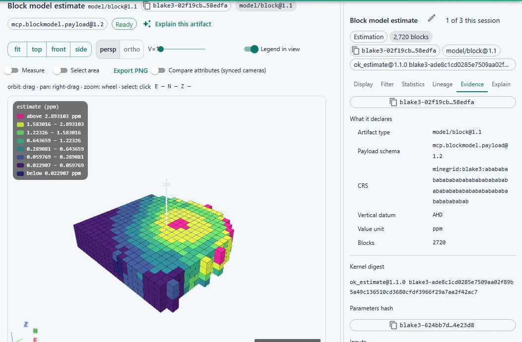
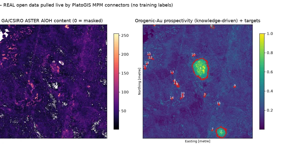
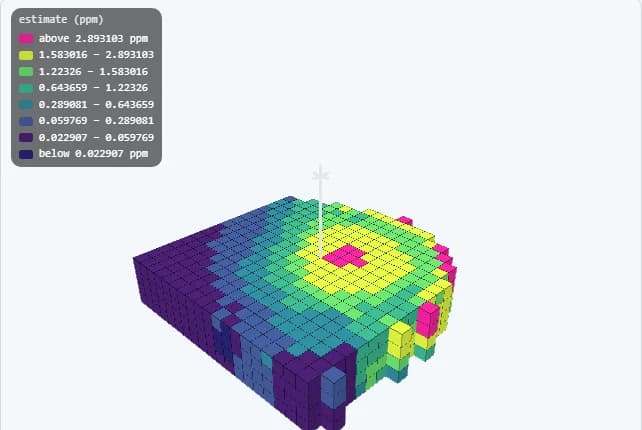
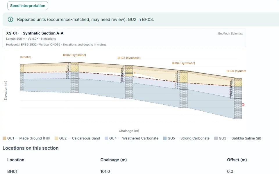
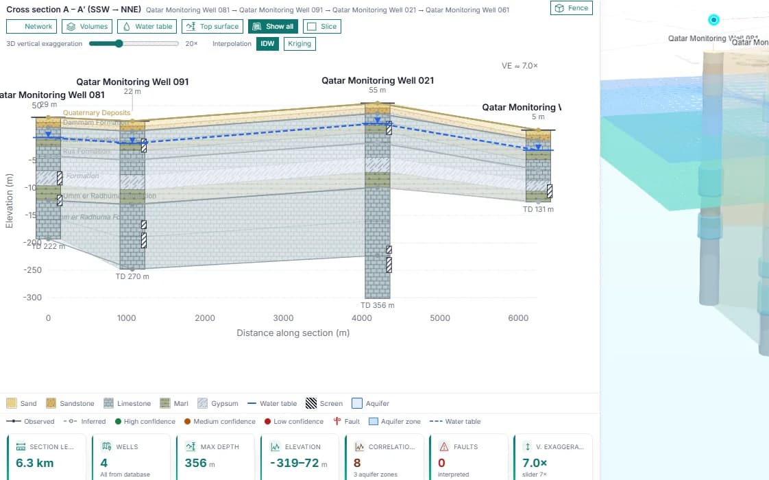
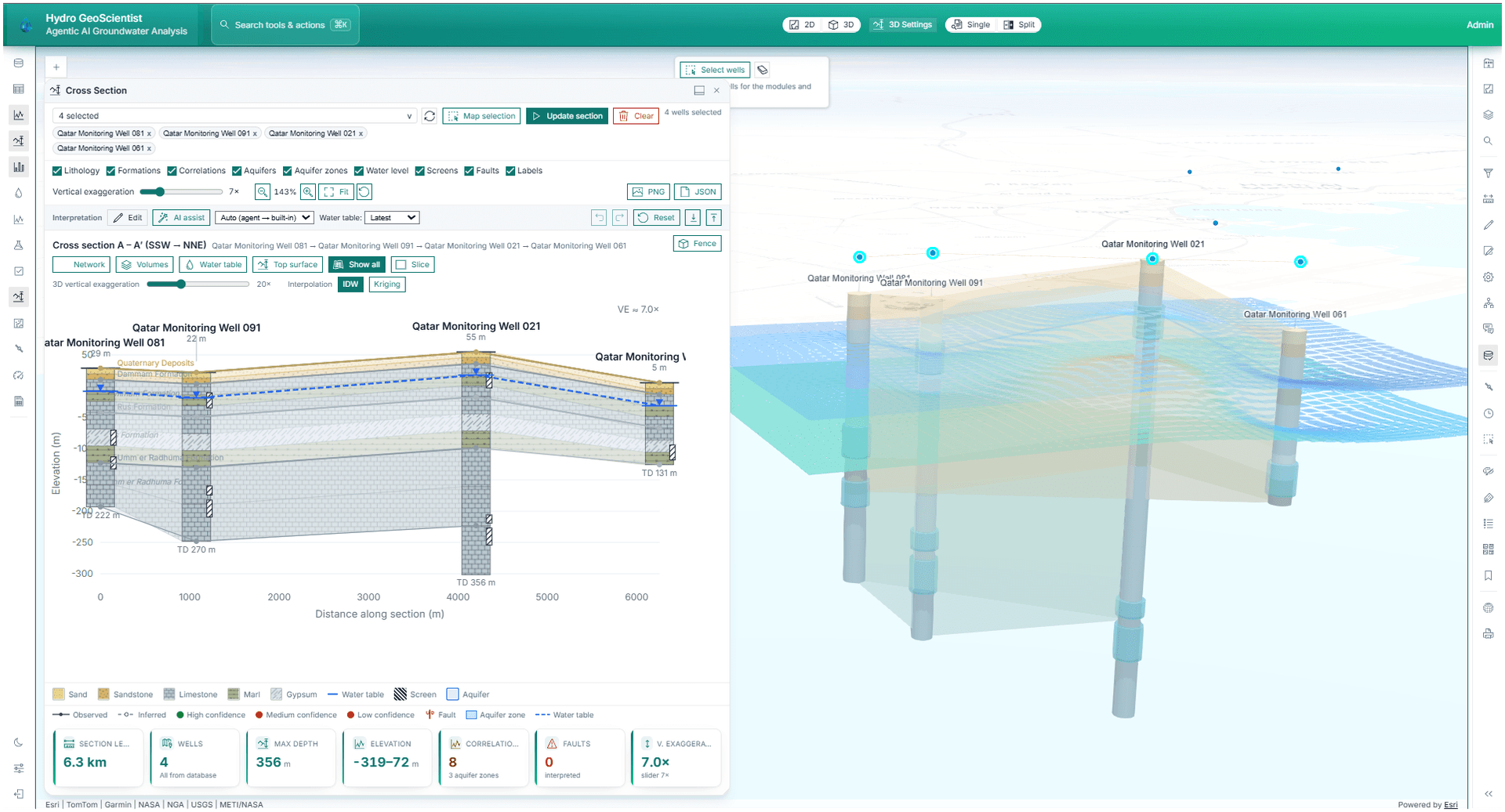
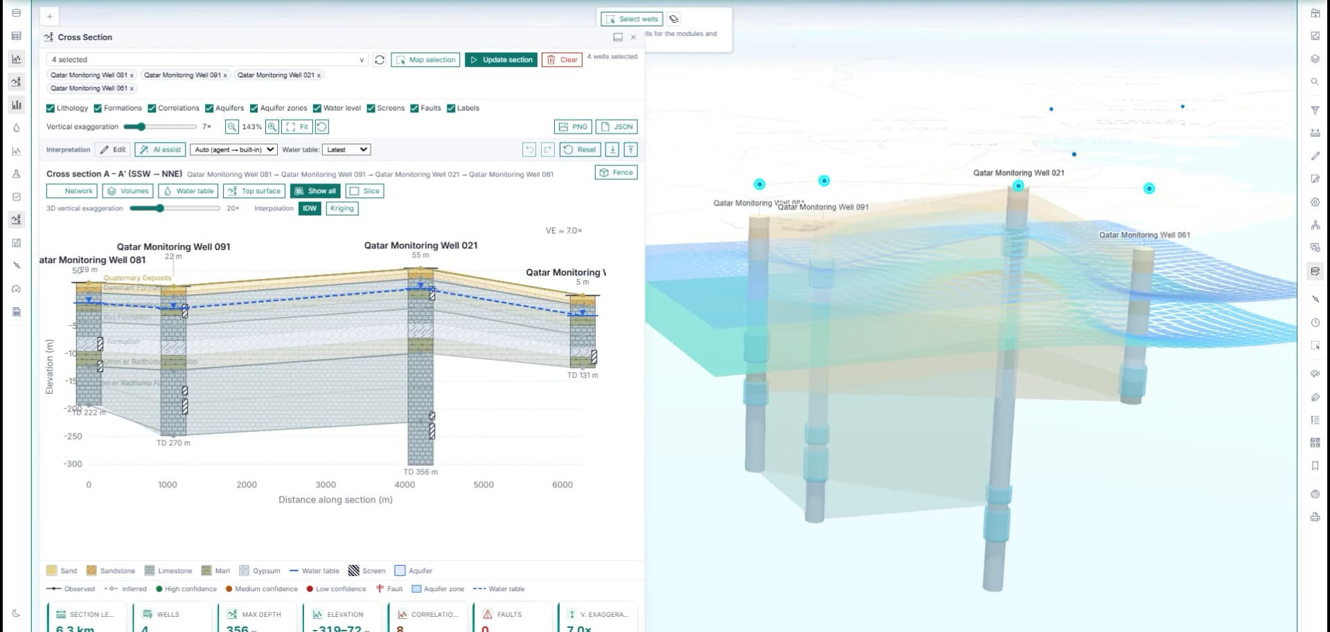
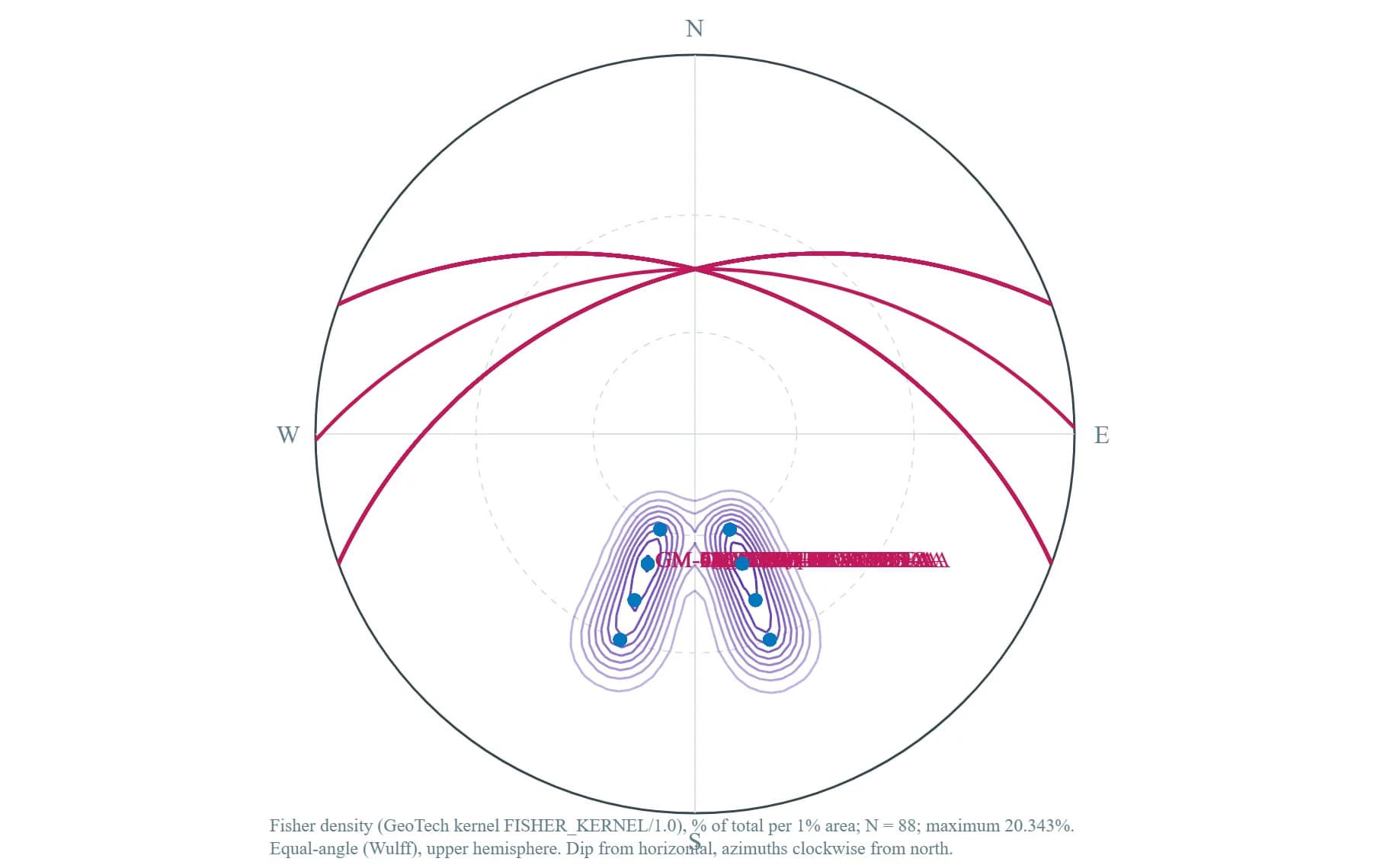
Screenshots and demos show actual maps, Data Hub workflows, well monitoring, imagery, 3D, and reporting surfaces.

Platform capabilities

Plato GIS is the flagship product

The platform brings enterprise Web GIS, AI agents, groundwater workflows, remote sensing, Data Hub operations, 3D visualization, and spatial analytics into a controlled workspace.

Autonomous workflows

AI Agents

Coordinate multi-step GIS work through specialist agents connected to 79 registered geospatial tools for layers, queries, imagery, analysis, reporting, and wells.

Reduces expert-only GIS friction while keeping outputs grounded in the map.

Explore

Operational workspace

Enterprise GIS

Work from live web maps, portal layers, project states, filters, styling tools, service-backed data, and export-ready outputs.

Gives GIS teams a familiar professional foundation for daily work.

Explore

Wells and monitoring

Groundwater Intelligence

Connect well monitoring, IoT logger data, logs, construction, recharge suitability, and water-level data workflows.

Turns groundwater evidence into map-first operational review.

Explore

Imagery and change

Remote Sensing

Load satellite imagery, inspect historical imagery, and run change detection inside the GIS workspace.

Transforms AOIs into visual evidence for environmental and planning decisions.

Explore

Data Hub

Data Management

Import, edit, audit, and maintain operational GIS, well, water-level, and sensor-backed records from a dedicated Data Hub.

Keeps the data behind GIS decisions organized and accountable.

Explore

Analysis outputs

Spatial Analytics

Generate contours, elevation profiles, statistics, measurements, filters, and map-ready outputs.

Makes analytical GIS work visible and repeatable for technical teams.

Explore

AI-powered GIS

Ask for spatial work. Watch the workflow execute.

You type the request. A master agent routes it to specialist agents that call 79+ registered geospatial tools — and you review every step before it lands on the map.

“Buffer all monitoring wells by 1 km and list the parcels they intersect.”

The agent runs a buffer tool, performs a spatial join against the parcel layer, and adds the result to the map.

“Load Sentinel imagery for this area and highlight where vegetation changed since last year.”

The imagery agent pulls the right bands, computes the index, and renders a change layer in map context.

“Summarize water-level trends and flag wells that look anomalous this quarter.”

The monitoring agent reviews the time series, surfaces trends, and lists wells that need attention.

Human-in-the-loop: every agent step is visible and reviewable.

Product highlights

From operational map to decision-ready output

SpatialTechSolutions combines daily GIS productivity with domain-specific workflows, services, and enterprise controls.

Data Hub governance

Audit data activity and maintain records behind GIS workflows.

3D review

Move from 2D maps to terrain-aware technical context.

Map reporting

Generate PDF map products and export GIS outputs.

Request demo

Turn your GIS workflow into a live product demo

Choose a workflow for groundwater, remote sensing, Data Hub operations, 3D visualization, spatial analytics, or enterprise GIS automation.